Road Signs
Shapes of Signs
The State of Georgia uses seven basic shapes of signs to convey traffic control instructions. Drivers should know signs by their shapes and colors so that they may recognize them from a distance and begin reacting timely and appropriately.
It’s the Law
Georgia law requires that all drivers, including motorcyclists, obey official highway signs and traffic control signals unless otherwise directed by a police officer or emergency worker.
Vertical Rectangle signs are generally used for regulatory signs, which tell you what you must do. You must obey them in the same manner as traffic laws.
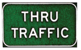
Horizontal Rectangle signs are generally used as guide signs. They show locations, directions, or other special information.
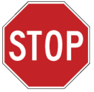
An Octagon (eight-sided shape) always means stop. When you come to it, you must make a complete stop at a marked stop line. If there is no stop line, stop before the crosswalk on your side of the intersection. If there is no crosswalk, stop at a point from which you can best see oncoming traffic. You must not start again until all pedestrians have finished crossing on the side of the roadway you are traveling on, and you have yielded the right-of-way to closely approaching traffic.
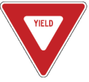
Triangle signs mean yield. You must slow down to a speed that is reasonable for existing conditions and stop if necessary. If you must stop, do so at a marked stop line, if it exists. After slowing or stopping, you must yield the right-of-way to other vehicles in the intersection or approaching closely on another roadway or auxiliary road leading into a major highway.
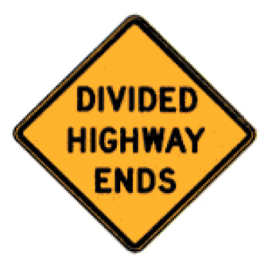
Diamond shaped signs warn of existing or possible hazards on roadways or adjacent areas. They are yellow with black words indicating the potential hazard, or black symbols visually describing the potential hazard.
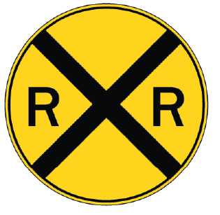
A round sign means you are approaching a railroad crossing. This sign is posted a few hundred feet in front of the tracks and alerts you to slow down, look, listen and prepare to stop. If necessary, roll down a window and listen carefully for an approaching train. If a train is approaching, stop! Do not try to calculate whether you can “make it” across the track. Never try to beat a train through the intersection. Passing is prohibited at all railroad crossings.
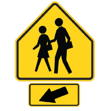
Pentagon shaped signs mean you are approaching a school zone and/or school crossing. When used, they will be erected not less than 150 feet nor more than 700 feet in advance of the school grounds or school crossing. (These signs can sometimes be fluorescent green in color.)
Regulatory Signs
Regulatory signs tell drivers what they may or may not do. Drivers, including bicyclists, must obey them in the same manner as traffic laws. Remember, a red circle with a red slash from upper left to lower right means “No.” The picture within the circle shows what is prohibited.
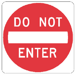
This marks a one-way road. If you are facing this sign traffic is coming toward you. You must not continue down the road.
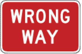
You are approaching a one-way highway or ramp. Driving on the highway or ramp in the direction you are traveling is not allowed.
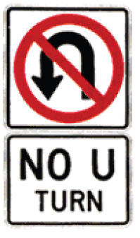
You cannot turn around to go in the opposite direction at this intersection.
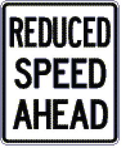
You are approaching an area where a reduced speed limit has been established.
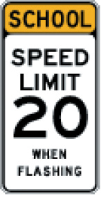
You are approaching a school zone. A reduced speed limit is in effect when the yellow lights are flashing.
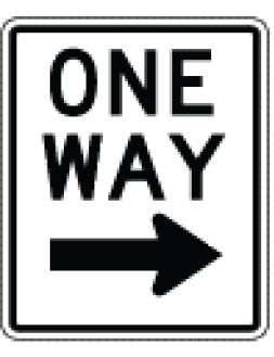
You may travel only in the direction of the arrow.
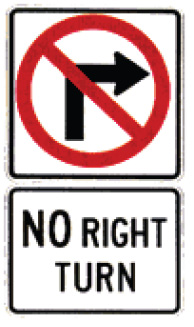
You cannot make a right turn at this intersection.
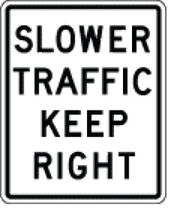
When two or more traveling lanes are available in the direction you are traveling, slower traffic should travel in the right (outside) lane(s).
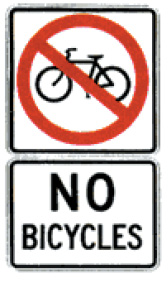
Bicycles are prohibited from entering this roadway.
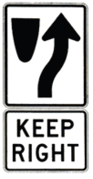
Traffic is required to keep to the right of medians or obstructions.
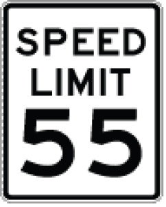
55 miles per hour is the maximum speed limit permitted in this area.
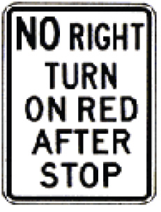
A right turn on red is prohibited, even after coming to a complete stop.
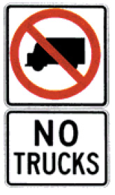
Trucks are prohibited from entering this roadway.
Warning Signs
Warning signs are usually yellow with black markings. (Warning signs can also be fluorescent green with black markings.) They alert you to conditions that are immediately ahead. There may be road hazards, changes in traffic direction, or some other potentially hazardous situation that requires action on your part.
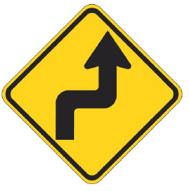
Sharp turn to the right and then sharp turn to the left.

Side road enters highway ahead at an angle.
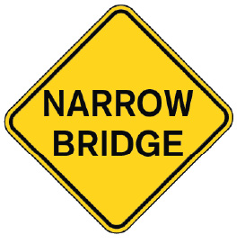
The bridge ahead allows room for only two lanes of traffic. Approach with caution.
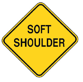
Shoulder of the road is soft. Drive on the shoulder only in emergencies.
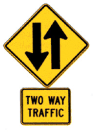
Warning that you are leaving a separated one-way highway and will soon be driving on a two-way highway.
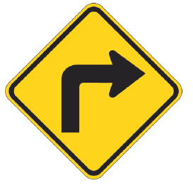
Sharp turn to the right.
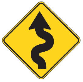
Winding road ahead.
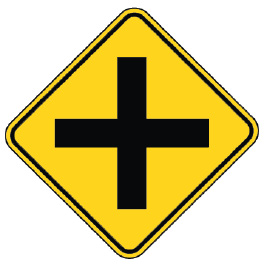
Another road crosses the highway ahead.
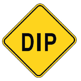
There is a dip in the road ahead. Slow down!
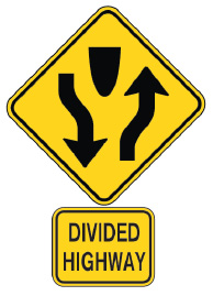
Divided highway begins. Prepare to change lanes or shift lane position.
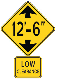
Approaching a low underpass. Do not enter if your vehicle or cargo exceeds the maximum height indicated on the sign.
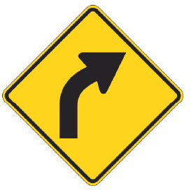
Curve to the right.
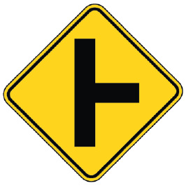
Side road enters highway ahead.
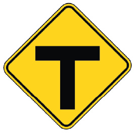
The road you are traveling on ends straight ahead. Slow down and prepare to yield or stop before turning right or left.
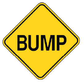
There is a bump in the road ahead. Slow down!
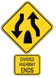
Divided highway ends. Prepare to change lanes or shift lane position.
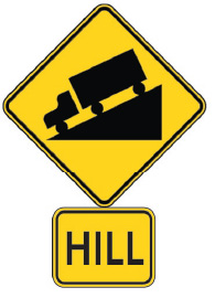
Steep hill ahead. Slow down and be ready to shift to lower gear to control speed and protect brakes from damage.
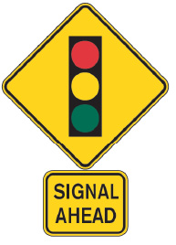
Presence of traffic signals at intersection ahead. Slow down!
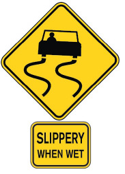
Roadway is slippery when wet. Remember, the first half-hour of rain is most hazardous.
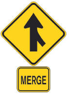
Traffic merging from the right. Prepare to allow traffic to safely merge.
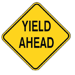
There is a yield sign ahead. Slow down and prepare to stop if necessary.
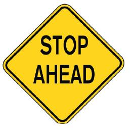
There is a stop sign ahead. Begin to slow down and be prepared to stop.
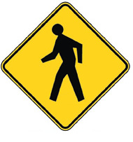
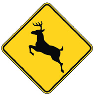
These signs alert drivers in advance of areas where animals, people, and vehicles may be crossing.
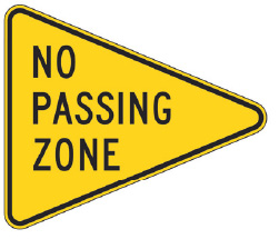
This sign is on the left side of the highway and marks the beginning of a no passing zone. Any passing maneuver must be completed before reaching this sign.
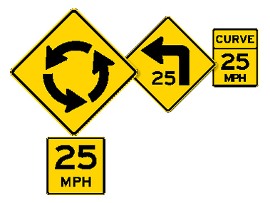
These signs may be accompanied by speed advisory plaques that indicate the speed with which you should proceed.
Drivers must stop and stay stopped when pedestrians are in the crosswalk.
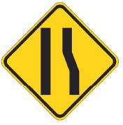
Number of lanes reduced ahead.
Guide Signs
Guide signs may indicate what road you are on, and how to get to your destination. Many guide signs are rectangular, but some have other shapes. There are several different kinds of guide signs — route markers, information, destination, distance, and location signs. These signs may be accompanied by a “To” sign or an arrow, indicating the highway, facility, or location that can be reached by following the signs. Here are some examples:
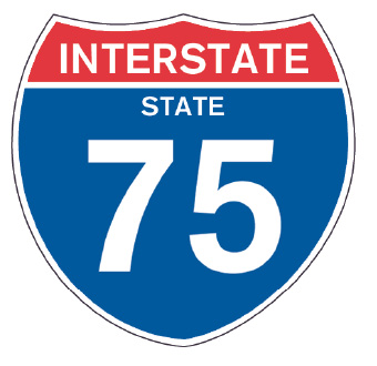
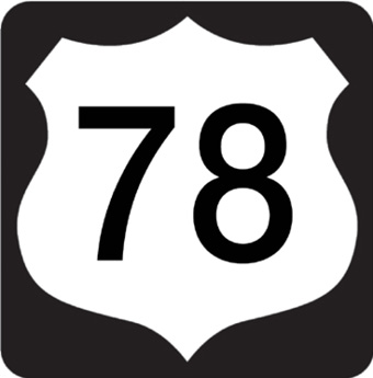
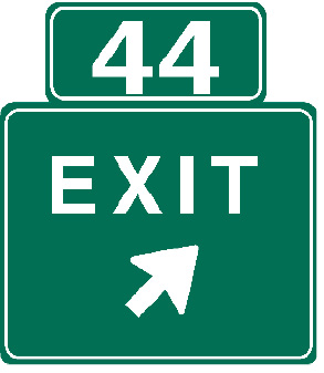
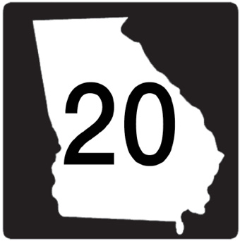

The numbers on these signs designate specific exits, interstates or highways.
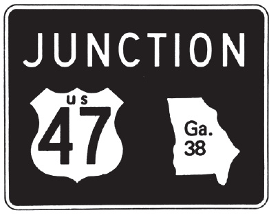
Intersection of U.S. Route 47 & Ga. Highway 38. These roads are going to cross or meet the highway you are traveling on.
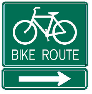
This sign marks an officially designated bicycle route. Be cautious of bicyclists while traveling on this road.
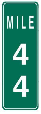
Milepost markers are placed each mile along the edge of the roadway from one end of the state to the other. Zero always starts at the south or west border where a route begins.
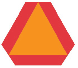
Caution – a vehicle displaying this emblem is a slow-moving vehicle. A slow-moving vehicle is defined as any vehicle moving less than 25 miles per hour. They are required by law to display this emblem.
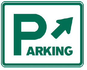
This sign means there is a public parking area in the direction of the arrow.
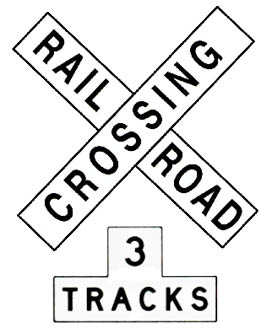
The cross-buck is placed at all railroad crossings. Yield to any approaching trains. Slow down, look and listen before crossing. A sign below the cross-buck indicates the number of tracks. A complete stop is required when a red light is flashing.
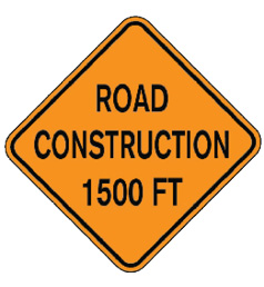
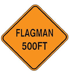
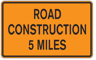
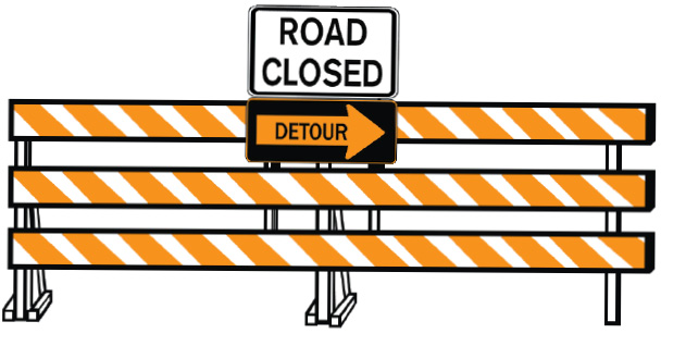
Construction and Maintenance Warning Signs
Warning signs for construction and maintenance projects are used to alert you to dangers ahead and give you enough time to adjust your speed accordingly. These signs are orange with black markings.
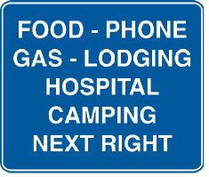
Service Signs
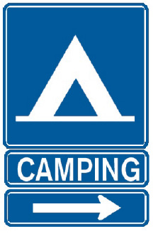
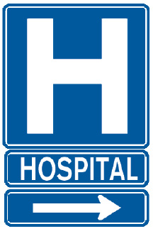
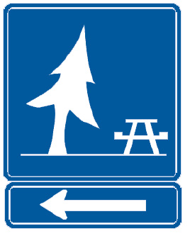
While traveling along Georgia’s highways, the following blue and white signs will give directions to service facilities.
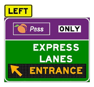
Express Lanes
Express Lanes offer motorists the option to pay a toll to bypass congestion in certain areas on the interstate. All vehicles with no more than two axles or up to six wheels can use Express Lanes if they have a registered Peach Pass. When the vehicle travels through the Express Lane, the toll amount will automatically be deducted from the pre-established account. There are currently two sets of Express Lanes in Georgia.
The I-85 Express Lanes are HOT Lanes along I-85 North in Gwinnett County. They are open 24-hours per day. On the I-85 Express Lanes, registered transit, three or more person carpools, motorcycles, emergency vehicles, and Alternative Fuel Vehicles (AFV) with the proper AFV license plate are allowed to use the lanes toll-free.
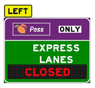
The I-75 South Metro Express Lanes are reversible lanes along 1-75 South in Henry and Clayton counties. Reversible lanes change directions during the day to provide additional travel options during peak travel periods. When the travel direction is being reversed, signs will show the lanes are closed. On the I-75 South Metro Express Lanes, all vehicles, including motorcycles and electric vehicles, are required to pay a toll. Public transit buses, registered vanpools and emergency response vehicles may use the lanes toll-free if they have a Peach Pass.